← Daly City & South SF Driving Tour
Oyster Point Marina Park
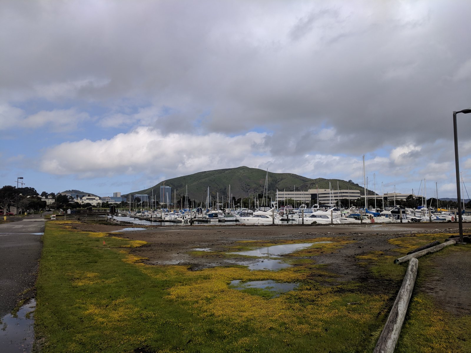
Stop (finale) — a capped garbage dump turned marina, ringed by biotech towers, under the flight path.
Key facts
- Municipal landfill operated 1956–1970, pushing the shoreline ~3,000 ft into the bay
- About 2.5 million cubic yards of waste capped beneath the park
- Now a 408-berth marina with a boat launch, pier, trails, and a small beach
- Ringed by biotech campuses, including the Kilroy Oyster Point development
- Sits directly under SFO's low-altitude arrival corridor
Narration transcript
Park at the water's edge and get out — this is the end of the drive, and it's the perfect place to end it. Stand at the marina and take in the view: sailboats, a fishing pier, a little beach, gleaming glass towers behind you, and every couple of minutes a jet on final approach to SFO passing low overhead. It's lovely. And you are standing on a garbage dump.
From 1956 to 1970 this was South San Francisco's landfill — they burned the trash out here until that was banned, then buried it, pushing the shoreline half a mile out into the bay with two and a half million cubic yards of the city's refuse. When it was full, they capped it, and over the following decades they turned the cap into this: a marina, a shoreline park, trails and picnic tables on top of the trash. And now the biotech industry that was born just up the road has ringed the whole point with laboratory towers — glassy campuses rising straight out of the old dump.
Which makes this the whole tour, standing in one spot. Think back over where we've been. The dead San Francisco evicted — resettled in Colma. The earthquake refugees it pushed up the hill — they founded Daly City. The dirty industries it didn't want — they built South San Francisco and its hillside boast. The overflow it couldn't house — became the little boxes on the hill. Even the mountain and the fault, the land nobody could build on, became a wilderness and a launch pad.
Every single thing on this drive was something the city pushed out — its dead, its poor, its factories, its garbage — and every town along this route caught what fell, and made it into who they are. Thanks for riding along. Enjoy the water.